Kandertal Hiking Routes: Trail Grades, Times, and Where Each Walk Ends
Kandertal hiking routes range from a flat hour around a lake to a full hut-to-hut crossing of the Gemmi Pass. Every walk here comes with a Swiss trail grade, time, and ascent.

The Swiss Trail Grading System Explained for First Time Visitors
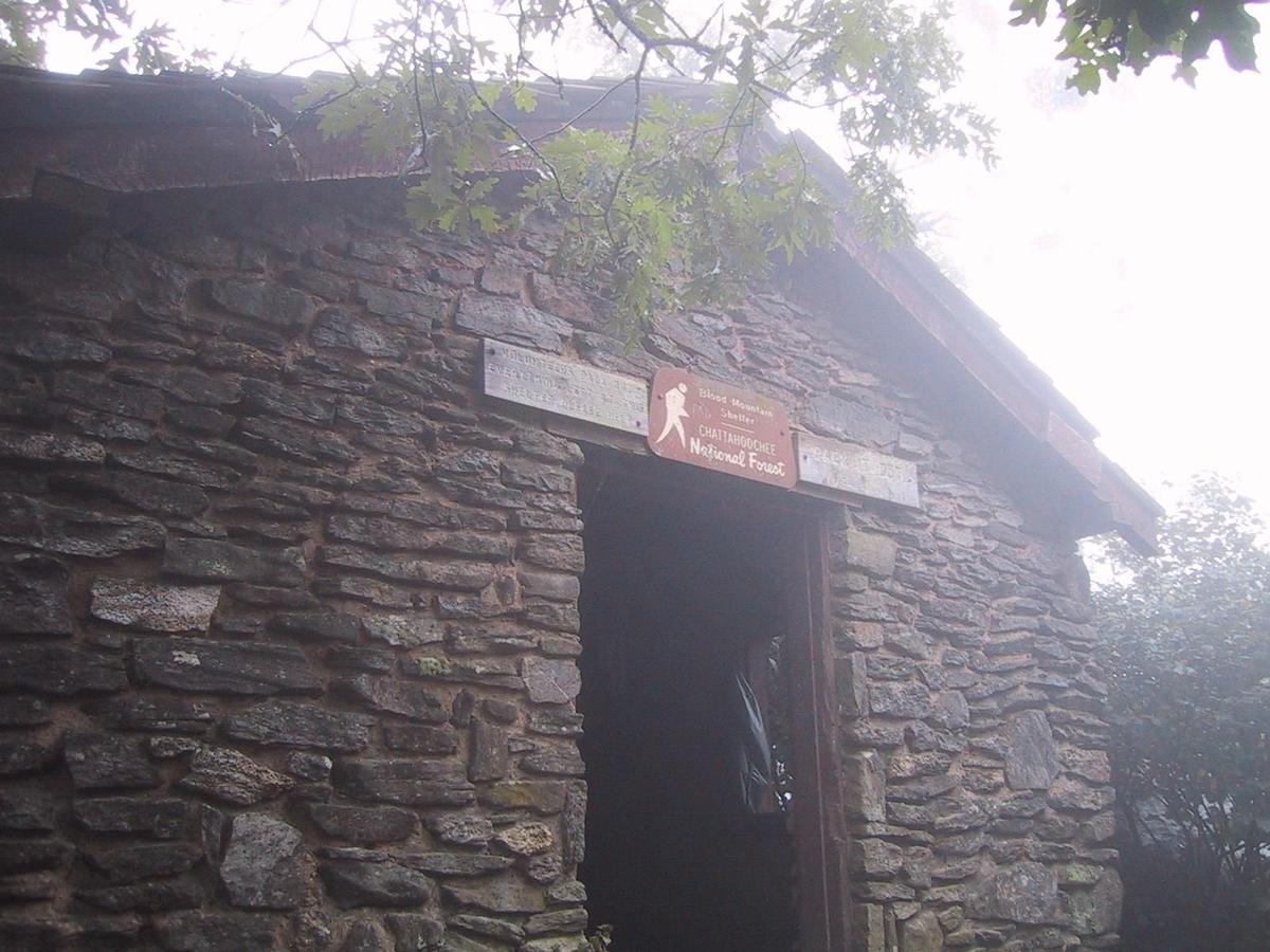
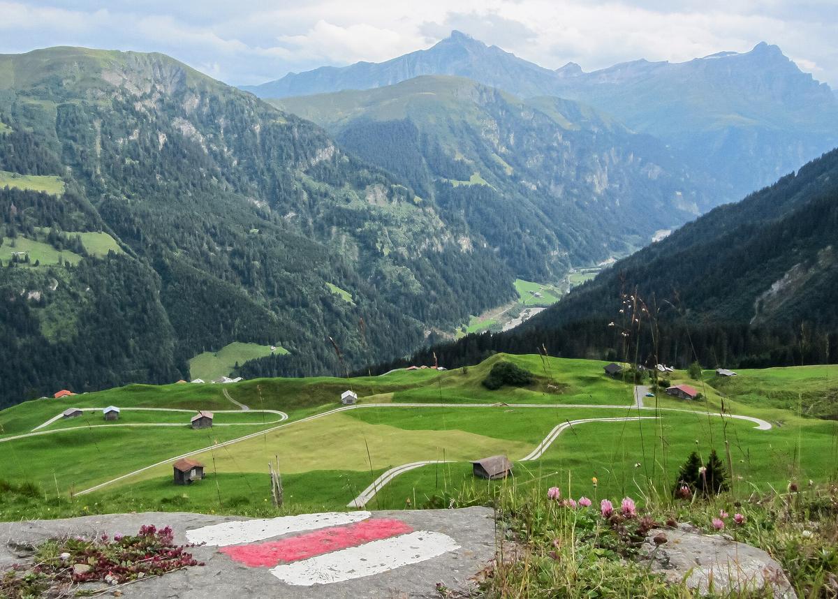
The Kandertal uses the official Swiss hiking trail grades: T1 (yellow, Wanderweg), T2 (white red white, Bergweg), T3 (white red white, demanding Bergweg), and T4 (white blue white, Alpinweg). T1 is a flat, paved path suitable for a pram. T2 requires trekking boots and sure footedness; there may be exposed sections where a slip would hurt. T3 adds exposure, loose terrain and some scrambling. T4 requires a helmet, climbing harness and alpine experience; ice axe and crampons may be needed. Every signpost in the valley shows the destination name, the route category colour, and the walking time in hours and minutes. There is no distance listed. The system is run by Schweizer Wanderwege (SAW) and the Swiss Hiking Federation. If you have never hiked in Switzerland, treat T2 as a serious mountain walk, not a nature stroll. T3 is for experienced hikers only. T4 is a climbing route.
Valley Floor Strolls: Kandersteg to Blausee and Kandergrund
Kandersteg to Blausee
Distance is 4.5 km one way. Walking time is 1 hour 10 minutes. Ascent is 20 m, descent is 120 m. Grade is T1 (yellow). Start at the railway stop (1176 m). The path runs south along the valley floor past meadows and forest to the paid-entry lake at Blausee. Entry is set by the Blausee AG and costs around CHF 12; check their site before you go. There is a restaurant serving organic trout from the lake farm. The walk suits all ages and pushchairs. Season is May to October; confirm exact opening dates with the tourist office as the path can be muddy after rain. Return by bus or retrace the flat route.
Kandersteg to Kandergrund
Distance is 8 km one way. Walking time is 2 hours. Ascent is 5 m, descent is 350 m. Grade is T1 (yellow). Start at the same railway stop. This is a gentle downhill walk through the residential hamlets that string the valley floor. Season is April to November. There is no single destination landmark; the walk ends at Kandergrund village, which has a bus stop for the return. This route works as a relaxed afternoon option when weather is poor on the high trails.
The Oeschinensee Circuit: the Signature Lake Walk
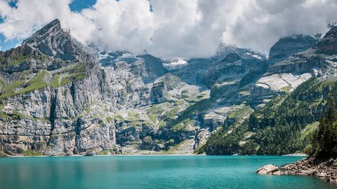
Distance is 9 km loop. Walking time is 3 hours. Ascent is 350 m, descent is 350 m. Grade is mixed: the north shore section is T2 (white red white); the remainder is T1 (yellow). Start at the Oeschinensee top station (1682 m), reached by gondola from the village. The gondola is operated by Oeschinensee Bergbahnen AG and runs from June to October; the operating dates are set annually and published by the company. Arrive before 09:00 or after 14:00 to avoid the queue, which can exceed 90 minutes in July and August. The circuit circles the turquoise lake under the sheer rock walls of the UNESCO listed area. The north shore section may open late June depending on snow and rockfall risk; if it is closed, you can walk the south shore only and return the same way. Food is available at Berghaus Oeschinensee (1678 m); their Älplermagronen with apple sauce is the standard meal. Lake water is not potable; fill at the tap at the Berghaus. Trekking boots are mandatory for the T2 section. This walk is suitable for confident children aged eight and up who are used to uneven ground.
The Gemmi Crossing: Sunnbüel to Leukerbad
Distance is 12 km one way. Walking time is 4 hours 30 minutes. Ascent is 500 m, descent is 950 m. Grade is T2 (white red white). Start at the Sunnbüel top station (1934 m), reached by gondola from the valley. The gondola is operated by Gemmi Bahnen AG and runs from late June to October; the dates are set annually and published by the company. The route climbs from Sunnbüel to the historic Gemmi Pass, crosses the wind-scoured Daubensee plateau, and descends to Leukerbad in the Valais. Season is late June to October; the Gemmi plateau snow cover melts by late June but check the MeteoSwiss forecast before setting out. This is a one-way crossing. Returning the same day requires a bus or taxi from Leukerbad via a 2.5-hour loop back; there is no quick shuttle. A better plan is to stay at Berghotel Gemmi (2350 m) or at a hotel in Leukerbad and take the bus back the next morning. Food is available at Berghaus Sunnbüel (Rösti with melted Raclette du Valais) and at Berghotel Gemmi. Water is available at both huts but there is no reliable source between them. If thunderstorms are forecast, do not cross the exposed plateau. Trekking boots with ankle support are mandatory.
The Gasterntal: a Dead End Glacial Valley
Walking to Selden
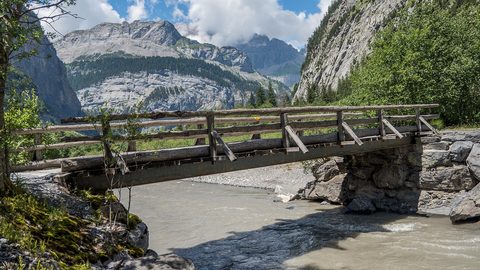
Distance is 10 km one way from the village to Selden. Walking time is 3 hours. Ascent is 400 m. Grade is T1 (yellow). Start at the railway stop (1176 m). The route follows the valley floor past the Inneri Rütti farm and the avalanche gallery, then crosses the wobbly wire suspension bridge over the glacial river. The path ends at the isolated Hotel Waldhaus Selden, a 19th-century timber building with no phone signal. Swisscom 4G does not reach the Gasterntal; Sunrise and Salt are also absent. Download offline maps and the SBB timetable before leaving Spiez. Season is May to October.
Access Restrictions
Private vehicles require a day permit from 1 June to 15 October. The permit costs about CHF 15 and is set by the municipality; cars are banned from 10:00 to 16:00 in peak months. A minibus service runs from the village to Selden; the service is run by Kandersteg Tourismus and its schedule changes annually. The last minibus can leave as early as 16:30. There is no taxi backup. If you miss it, you face a 3-hour walk back on the same path. Cash is required at Hotel Waldhaus Selden; there are no card terminals above 1500 m. The valley is raw and quiet, with no facilities beyond the hotel. Stream water should be treated or filtered before drinking.
Beyond Selden: The Kanderfirn Viewpoint
From Selden you can continue on a T2 path up the valley to the Kanderfirn glacier viewpoint. This is a further 2 to 3 hours round trip with a stiff climb. The path is exposed in places and may hold snow into August. The glacier itself is retreating; the viewpoint shows the end of the ice tongue. This extension is for confident hikers only and is not suitable for children under twelve.
The Ueschinen Valley: the Quiet Alternative
The Ueschinen valley is the side valley opposite Oeschinensee. It has no cable car, no hut, and no facilities. The walk starts from the village and follows a T2 (white red white) path into the narrow, forested gorge. Distance to the end of the maintained trail is about 5 km one way. Walking time is 2 hours one way. Ascent is 500 m. Season is June to October. The valley is deeply shaded and stays cool even in August. There are no benches, no water taps, and no emergency shelter. Carry at least 1.5 litres of water per person. The path ends at a natural amphitheatre of rock walls; there is no defined turnaround point. This walk is for people who want absolute silence and are prepared to manage entirely without infrastructure. Not recommended for families with young children.
The Allmenalp Climb and Via Ferrata
Distance from the railway stop to Allmenalp is 3.5 km one way. Walking time is 2 hours 30 minutes. Ascent is 550 m. Grade is T2 (white red white). Season is May to October. The path climbs steeply through forest to the Allmenalp meadow, which has a small cable car stop and a climbing crag. The Allmenalp via ferrata (Klettersteig Allmenalp) is rated difficulty K3 to K4, with a sustained vertical section. Equipment required: helmet, climbing harness, via ferrata set. The route includes a vertical iron ladder section. This is not a walk; it is a climbing route. Only attempt it if you have prior via ferrata experience. The normal walking trail to Allmenalp ends at the meadow; you can return via the cable car (operating dates set annually by the company) or walk back down the same path. Cash is required for the cable car.
The Hohtürli Crossing: Kandersteg to Griesalp
Distance is 16 km one way. Walking time is 7 to 8 hours. Total ascent from the valley is 1600 m. Total descent to Griesalp is 1300 m. Pass height is 2778 m. Grade is T2 (white red white) to the pass, then T4 (white blue white) on the north side descent to Griesalp. Start at the railway stop (1176 m) or at Gasterntal (Selden, 1537 m). Season is mid July to mid September. Snow fields on the north side of the pass persist late; ice axe and crampons may be required until mid July. The Blüemlisalphütte SAC (2840 m) is at the pass and offers accommodation; hut guardian contact details are updated annually and published by the SAC. There is no reliable water between Selden and the hut; fill at the hut. This is a full alpine day. Do not attempt it if you have not done a 1600 m ascent day before. Thunderstorms are common on summer afternoons; start by 06:00 to be down by 14:00. The Griesalp road is the steepest postbus route in Europe (28% gradient). The last bus from Griesalp can leave as early as 16:30; check the SBB app before you start. If you miss it, you are stranded overnight at Griesalp with the hotel as your only option.
The Lötschenpass: Kandersteg to the Lötschental
Distance is 14 km one way. Walking time is 5 hours 30 minutes. Total ascent from the village is 1050 m. Total descent to Ferden is 1200 m. Pass height is 2690 m. Grade is T2 (white red white). Start at the railway stop (1176 m) or at the Sunnbüel top station (1934 m). Starting from Sunnbüel saves a large chunk of the ascent. Season is late June to October. The Lötschenpasshütte (2690 m) is at the pass and offers accommodation; hut guardian contact details are updated annually and published by the SAC. There is no reliable water between Sunnbüel and the hut; fill at the hut. The descent to Ferden takes you into the Lötschental, a deep traditional Valais valley. From Ferden you take a bus to Goppenstein and then the car shuttle train back to the start. The total loop takes about 8 hours including transport. This is a quieter alternative to the Gemmi crossing and suits hikers who want a traverse but find the Hohtürli too demanding.

Essential Kit and Safety for All Routes
Mandatory for T2 (white red white) routes: trekking boots with ankle support. Mandatory for T4 (white blue white) routes: helmet, climbing harness, via ferrata set or rope. Recommended for all mountain routes: waterproof jacket and trousers, warm mid layer, hat, gloves, sun protection, first aid kit, mobile phone with emergency numbers saved. Emergency numbers: REGA helicopter rescue 1414; Alpine emergency (SAC) 1414; European emergency 112. Thunderstorms can develop in 30 minutes at altitude, with temperature drops of 10 to 15 degrees Celsius. If weather turns on a high route, descend immediately to the nearest valley or hut. Do not cross exposed ridges or passes in lightning. Nearest emergency shelters on the Hohtürli: Blüemlisalphütte SAC (2840 m); Gspaltenhornhütte SAC (2455 m, a 1-hour detour). Nearest emergency shelters on the Lötschenpass: Lötschenpasshütte (2690 m); Berghotel Gemmi (2350 m). Föhn wind can produce gusts over 80 km per hour on passes. The MeteoSwiss forecast for the region and the Jungfrau area is the only forecast you should trust.
Getting to Kandersteg and Getting Around
Fly into Bern (BRN) or Zurich (ZRH). From Bern, take the train to Spiez (25 minutes), then change for the BLS Lötschberg line to the village stop. Total journey time is 1 hour 10 minutes. A full single ticket costs roughly CHF 35 to 40; check sbb.ch for the exact fare. From Zurich, travel via Bern or Spiez; total time is 2 hours 15 minutes. Budget about CHF 75 to 80 for the full single fare. No airport bus serves the valley. The stop is on the BLS Lötschberg line (Bern to Brig). The last train back to Bern varies annually; check sbb.ch and bls.ch for the current schedule.
PostBus is the only public transport in the valley. You need coins or the SBB Mobile app; drivers do not sell tickets on board. The single biggest trip-up is that the last bus from Griesalp or Gasterntal can leave as early as 16:30, even in summer, and there is no taxi backup. The Gasterntal minibus service is run by Kandersteg Tourismus and its schedule changes annually. The Sunnbüel gondola is operated by Gemmi Bahnen AG; the Oeschinensee gondola is operated by Oeschinensee Bergbahnen AG. Both sets of operating dates are revised every year and published by the respective companies. The 2026 dates are not yet published; check the company websites before you travel.
When to Go and When to Stay Home
Peak season is July and August. All cable cars and mountain huts are open. High trails are snow free. Expect crowds at Oeschinensee and on the Gemmi. Late February to early March is peak season for ski touring on spring snow. You need a minimum of 3 full days because the weather closes in fast and you need a buffer to hit at least one high-altitude objective.
Avoid mid April to mid June. Most cable cars and huts are closed for the shoulder-season break. High trails are still snow-covered or dangerously soft. Also avoid late October to mid December. Nothing operates and the valley sits in deep shade. If you arrive in the avoid window, you can walk the valley floor routes (to Blausee, to Kandergrund) but you will not reach Oeschinensee, the Gemmi, or any of the high passes.
| Route | Grade | Time | Ascent | Season |
|---|---|---|---|---|
| Kandersteg to Blausee | T1 yellow | 1 h 10 min one way | 20 m | May Oct |
| Kandersteg to Kandergrund | T1 yellow | 2 h one way | 5 m | Apr Nov |
| Oeschinensee circuit | T1/T2 mixed | 3 h loop | 350 m | Jun Oct |
| Sunnbüel to Gemmi to Leukerbad | T2 white red white | 4 h 30 min one way | 500 m | late Jun Oct |
| Gasterntal to Selden | T1 yellow | 3 h one way | 400 m | May Oct |
| Hohtürli (Kandersteg to Griesalp) | T2/T4 mixed | 7 8 h one way | 1600 m | mid Jul mid Sep |
| Lötschenpass (Kandersteg to Ferden) | T2 white red white | 5 h 30 min one way | 1050 m | late Jun Oct |
The Single Most Practical Thing to Do Next
Download the SBB Mobile app and the offline map for the Kandertal on your phone before you leave Spiez. Swisscom has 4G in the village and at Oeschinensee, but the Gasterntal and Griesalp have zero signal. Sunrise and Salt are patchy even in the valley. If you do not have the offline map and the bus timetable saved, you will not know that the last bus from Griesalp leaves at 16:30, and you will be walking 7 hours back in the dark. That is the most common mistake in this valley.
Read next
-
 Oeschinensee
The turquoise Oeschinensee under sheer cliffs is the Kandertal's UNESCO centrepiece—here's how to beat the cable car queue and walk the full circuit safely.
Oeschinensee
The turquoise Oeschinensee under sheer cliffs is the Kandertal's UNESCO centrepiece—here's how to beat the cable car queue and walk the full circuit safely.
-
 Gasterntal
The Gasterntal is a dead-end glacial valley behind Kandersteg with a controlled single-lane road, no phone signal, and a historic timber hotel. Here’s how to get in.
Gasterntal
The Gasterntal is a dead-end glacial valley behind Kandersteg with a controlled single-lane road, no phone signal, and a historic timber hotel. Here’s how to get in.
-
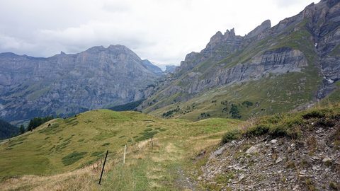 Sunnbüel und Gemmipass
The Sunnbüel cable car lifts you from Kandersteg to the start of the Gemmi Pass trail to Leukerbad. The walk is one-way, and the return loop takes planning.
Sunnbüel und Gemmipass
The Sunnbüel cable car lifts you from Kandersteg to the start of the Gemmi Pass trail to Leukerbad. The walk is one-way, and the return loop takes planning.
-
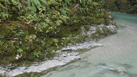 Allmenalp
The Allmenalp cable car above Kandersteg serves a via ferrata, a climbing crag, and a paraglider launch. It’s not a general viewpoint, and it shuts in the shoulder seasons.
Allmenalp
The Allmenalp cable car above Kandersteg serves a via ferrata, a climbing crag, and a paraglider launch. It’s not a general viewpoint, and it shuts in the shoulder seasons.
-
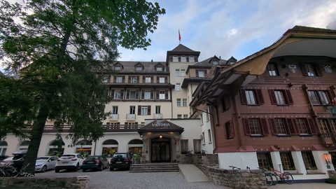 Kandertal Hotels and Mountain Inns Worth Booking
From the timber rooms of the Waldhaus in the Gasterntal to a dormitory bed at the Oeschinensee mountain hut, here are the Kandertal's real hotel options.
Kandertal Hotels and Mountain Inns Worth Booking
From the timber rooms of the Waldhaus in the Gasterntal to a dormitory bed at the Oeschinensee mountain hut, here are the Kandertal's real hotel options.
-
 Where to Stay in the Kandertal Valley for Hiking and Quiet
Compare the three places to sleep in the Kandertal—Kandersteg village, the Kiental farms, and the high hamlet of Griesalp—and find the right base for your hiking trip.
Where to Stay in the Kandertal Valley for Hiking and Quiet
Compare the three places to sleep in the Kandertal—Kandersteg village, the Kiental farms, and the high hamlet of Griesalp—and find the right base for your hiking trip.
-
 Things to Do in the Kandertal Summer Hiking and Winter Ski Touring
What there is to do in the Kandertal, split between summer hiking and winter ski touring, with the dead shoulder seasons clearly marked so you do not arrive to closed lifts.
Things to Do in the Kandertal Summer Hiking and Winter Ski Touring
What there is to do in the Kandertal, split between summer hiking and winter ski touring, with the dead shoulder seasons clearly marked so you do not arrive to closed lifts.
-
 Best Time to Visit the Kandertal and When to Stay Away
The Kandertal has two real seasons—high summer hiking and late-winter ski touring—and two long shoulder closures when the cable cars and huts simply shut.
Best Time to Visit the Kandertal and When to Stay Away
The Kandertal has two real seasons—high summer hiking and late-winter ski touring—and two long shoulder closures when the cable cars and huts simply shut.
-
 Getting Around the Kandertal Without a Car
The Kandertal runs on PostBuses with early last departures and no taxi backup. Learn the Gasterntal road rules, the SBB app, and why offline maps matter.
Getting Around the Kandertal Without a Car
The Kandertal runs on PostBuses with early last departures and no taxi backup. Learn the Gasterntal road rules, the SBB app, and why offline maps matter.